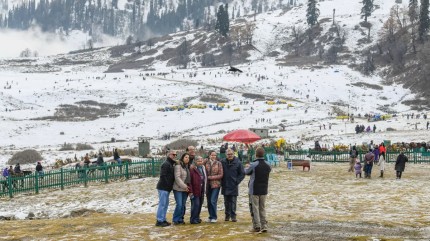
IMD Forecasts Heavy Rain In Tamil Nadu, Kerala; Snowfall In Kashmir Till November 16

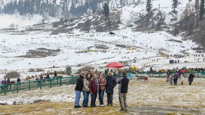
New Delhi: Approaching Western disturbances are likely to bring rain, snowfall, and thunderstorms across the Himalayan region starting Wednesday, while a developing low-pressure area over the Bay of Bengal may trigger heavy rains across southern states over the next week, the India Meteorological Department (IMD) said.
The changing weather patterns come amid relatively high temperatures that continue to delay a firm and sustained winter chill across northern and central India, the department said.
In the north, Jammu and Kashmir and Ladakh are likely to see isolated to scattered rainfall on Wednesday, followed by heavy precipitation on Thursday and Friday, IMD said. Some higher reaches already received snowfall on Wednesday.
Similarly, Himachal Pradesh is expected to receive rain and snow between November 11 (Wednesday) and November 16 (Monday), while the western disturbance may bring rainfall on November 12 (Thursday) and Friday (November 13). The IMD also forecast isolated rain in Punjab for the next two days.
Gradual Cooling In Delhi-NCR And Northern Plains
The weather department predicted that despite the mountain snowfall, the cooling effect on the plains of the north would be gradual. The Delhi National Capital Region (NCR) and neighbouring states are unlikely to see a sharp drop in temperatures as colder air may move into parts of North India.
The maximum temperature is likely to remain between 27 degree celsius and 29 degree celsius, while the minimum temperature could range from 14 degree celsius to 16 degree celsius. Currently, the national capital is bracing for cool and foggy mornings, with changing weather patterns unlikely to bring any drastic improvements to the AQI levels.
The IMD attributed the phenomenon to an anti-cyclonic circulation over Rajasthan and nearby areas, which is likely maintaining stable and dry weather, limiting the spread of colder air across the plains.
Meanwhile, a low-pressure area is expected to form over the southeast Bay of Bengal around Friday (November 13) and move northwest, which will likely intensify into a well-marked low-pressure system within 24 hours, per the Meteorological Department.
Although the detailed forecasts are yet to come, the subsequent movement and development of the low-pressure system could influence weather conditions over parts of the region.
Low-Pressure System Over Bay Of Bengal
According to the IMD, heavy rainfall will likely occur in parts of southern India starting Wednesday (November 11). It also forecasts thunderstorms with lightning and winds of 40 to 50 kpmh, gusting up to 60 kpmh for Wednesday, Thursday, Sunday and Monday.
Tamil Nadu, Puducherry and Karaikal are expected to receive a fresh spell of rain on November 15 and 16. Similarly, rain is forecast across Kerala and Mahe through Sunday, and in Lakshadweep through Monday.
According to the weathermen, coastal and south interior Karnataka may witness rainfall on Sunday and Monday, while coastal Andhra Pradesh, Yanam and Rayalaseema are likely to receive rainfall on Saturday and Monday.
Fairly widespread to widespread rain is expected in Andaman and Nicobar Islands on Monday. The downpour would be accompanied by thunderstorms, lightning and strong winds.
Thunderstorms And Rain Forecast In Northeast, East India
In the northeast, isolated to scattered rain is likely across Arunachal Pradesh, Assam, Meghalaya, Nagaland, Manipur, Mizoram and Tripura on Wednesday and Thursday, IMD said.
The rainfall would be accompanied by thunderstorms and lightning in the region, with moderate to intense lightning forecast for Meghalaya, Mizoram and Tripura on Wednesday.
Isolated rain will likely be witnessed in Bihar, Jharkhand and West Bengal, while western and central India will remain largely dry.
What Shifting Weather Means For Rabi Crops
Authorities have warned that the shifting weather carries major implications for agriculture as the winter rabi cropping season progresses. On the other hand, the incoming rain and snow will boost soil moisture for orchards and winter crops in Himalayan region.
However, farmers are watching temperatures closely across the northern and central plains, as persistent warmth can cause heat stress and accelerate maturity in wheat and mustard crops, potentially reducing yields.
Western disturbances is a weather system that originates near the Mediterranean region and travels east toward the Indian subcontinent. It serves as a vital source of winter moisture for northwestern India.
The precipitation supports mountain horticulture and vegetation by replenishing soil moisture for orchards and winter crops, while accumulated snow ensures water availability in later months.