Cyclone Akvan Changes Path: Landfall Likely Between Odisha's Puri And Andhra's Narsapur On November 20.

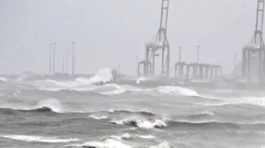
Bhubaneswar/Visakhapatnam: In a major update, severe cyclonic storm Akvan over the Bay of Bengal has recurved, moving north-northwestwards and now heading towards the North Andhra Pradesh and South Odisha coasts, raising concerns over its possible impact on the coastline in both states.
According to the latest bulletin issued by the India Meteorological Department (IMD) on Wednesday, Akvan, the third cyclone to form in the Bay of Bengal in a span of 21 days, is likely to cross the North Andhra Pradesh and Yanam and South Odisha coasts between Narsapur and Puri on November 20 as a severe cyclonic storm.
The storm moved north-northwestwards at a speed of seven kmph during the past six hours and lay centred over the central parts of the South and adjoining Westcentral Bay of Bengal.
The system was positioned approximately 710 km south of Gopalpur and 770 km south of Puri in Odisha, around 580 km south-southeast of Visakhapatnam, 590 km southeast of Machilipatnam and 570 km east of Chennai.
Latest forecast suggests that
Akvan is likely to continue moving north-northwestwards and make landfall anywhere between the North Andhra Pradesh and Yanam and South Odisha coasts between Narsapur and Puri around the noon of November 20.
At the time of landfall, the system is expected to bring maximum sustained wind speeds of 90-100 kmph, gusting up to 110 kmph, IMD added.
Odisha On High Alert
The revised forecast has brought the Odisha coast within the potential impact zone of the cyclone, with the IMD issuing an Orange Message (Cyclone Alert) for the North Andhra Pradesh, Yanam and South Odisha coasts. The change in the projected path and the possibility of the system making landfall along the coast between Narsapur and Puri have heightened concerns over the likely impact on coastal districts of Odisha.
With the cyclone expected to approach the coast within the next two days, officials are closely monitoring its movement and taking precautionary measures to minimise risks to people, tourists, fishermen and commuters.
Amid concerns over heavy rainfall, strong winds, rough sea conditions and possible waterlogging, the Office of the Special Relief Commissioner (SRC) has issued strict instructions to the Tourism and Commerce & Transport departments to ensure public safety.
he authorities to suspend beach tourism activities at vulnerable locations until the situation returns to normalcy. Sea bathing, boating, water sports, pleasure cruises and other marine tourism activities will remain prohibited during the period. Public access to unsafe beaches, jetties, coastal viewpoints and other vulnerable tourist destinations will also be restricted, officials said.
This apart, hotels, resorts and tour operators operating in coastal districts have been instructed to alert their guests about the weather conditions and cancel outdoor excursions. They have also been asked to keep emergency supplies ready and comply with evacuation or shelter-related instructions issued by local authorities, an official statement said.
In anticipation of disruption to road transport due to heavy rainfall, strong winds, waterlogging and reduced visibility, the SRC has also asked the Commerce & Transport Department to take additional precautions, particularly for vehicles travelling at night. "Transport authorities have been directed to intensify night patrolling along low-lying, flood-prone and accident-prone stretches of National and State Highways. Reflective warning signboards will be installed at vulnerable locations to alert motorists," the statement added.
Evacuation To Begin In Vulnerable Places In South Odisha
Meanwhile in Odisha, Rayagada Collector Ashutosh Kulkarni said the district administration has made preparations in view of the heavy rainfall forecast for November 18, 19 and 20.
Officials here have identified around 55 landslide-prone villages for pre-emptive evacuation and stepped up preparedness ahead of Cyclone Akvan, Kulkarni said on Tuesday.
Kulkarni told reporters that Rayagada, located in southern Odisha along the Andhra Pradesh border, has been issued yellow and orange warnings for November 18, 19 and 20, with heavy rainfall forecast in the region.
Speaking on the preparedness, he informed that a district-level meeting was conducted and departments have been instructed to carry out the tasks assigned to them. He also noted that atleast 55 villages were identified as landslide-prone and pre-emptive evacuation will be conducted as a preventive measure.
"We conducted a district-level preparatory meeting, and all line departments have been instructed to carry out their assigned tasks. There are about 55 villages that we have identified as landslide-prone, and we will conduct a pre-emptive evacuation of those areas as a preventive measure. We also have
several other he told media.
As the cyclone is likely to bring heavy to very heavy rainfall in Kakinada district, Collector Harendhira Prasad has directed officials to remain prepared for any eventuality. In light of the cyclone warning, a special 24-hour control room has been established at the Collectorate. Officials are continuously monitoring the status of water bodies, reservoirs, and drainage systems across the district. The Collector has instructed that proactive measures be taken to prevent hardships for residents in low-lying areas and that relief operations be carried out wherever necessary.
Offshore and onshore activities would be reviewed based on the advisories issued by the IMD, the official added.
Rain In Chhattisgarh, MP
In Chhattisgarh, heavy rainfall is expected in the southern districts on November 20 and 21, while light rain is likely in Raipur, Durg and Bilaspur.
The system is expected to bring weather changes across several states in central and eastern India. In Madhya Pradesh, weather experts have suggested that thunderstorms and rain will lash nine districts on November 20. Strong winds of 30-40 km per hour are likely in the south-eastern parts of the state.
Rainfall is also likely in Umaria, Shahdol, Anuppur, Dindori, Mandla, Balaghat, Seoni, Chhindwara and Pandhurna. The impact of the system is expected to be more pronounced on November 20.
Akvan To Bring Rain In South Bengal From Nov 19
Even though West Bengal is unlikely to face the brunt of the cyclone, under its impact, heavy rain is likely in several districts of South Bengal from Thursday. Showers will continue till Saturday.
As per the forecast, light rain with thunderstorm is likely at one or two places in South 24 Parganas, East Midnapore, West Midnapore, Kolkata and Howrah on Wednesday. There will be dry weather in the remaining districts of South Bengal.
Light to moderate rain with thundershowers is likely at most places in North 24 Parganas, South 24 Parganas, East Midnapore, West Midnapore, Jhargram, Kolkata and Howrah on Thursday.
Similarly, light to moderate rainfall with thundershowers is likely at most places in the state on Friday, with heavy rain expected at South 24 Parganas, East Midnapore, West Midnapore and Jhargram districts on that day.